Photogrammetry is the science of making measurements from photographs. By taking multiple overlapping images of an object or area, our specialized software can triangulate points in 3D space, generating precise and comprehensive digital representations of reality.
For Business Enquiry
In today's fast-paced construction and engineering world, accurate and rapid data capture is paramount. Traditional survey methods can be time-consuming and costly, often lacking the granular detail needed for complex projects.
At AVbimsoft, we're pioneering the future of geospatial data with our advanced Photogrammetry Services. We harness the power of high-resolution imagery – captured from drones, ground-based cameras, or even historical aerial photos – to create incredibly accurate and detailed 3D models, point clouds, orthomosaics, and digital terrain models.
Global Clients
Ongoing project
Reduction in Project Costs
Global Clients
Faster Project Delivery
Countried served
Our Comprehensive Services Portfolio

Using laser scanning or photogrammetry to capture existing site conditions in the form of point clouds. Removing noise and irrelevant data to ensure high-quality input for modeling.

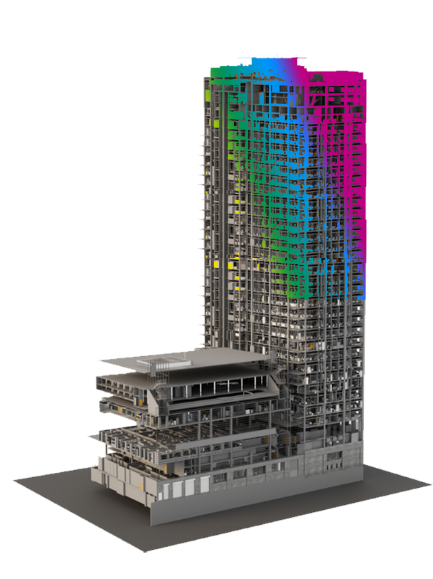
Create detailed 3D models in Revit or CAD from the scan data. Incorporate architectural, structural, and MEP elements. Generate accurate as-built drawings and models reflecting the current state.

Create detailed 3D models of the plant infrastructure, including piping, equipment, and structures. Generate accurate as-built drawings and models for maintenance and upgrades. Use existing P&ID diagrams to understand process flows and equipment relationships.

Create accurate 2D drawings from the scan data, including floor plans, elevations, and sections and Generate as-built documentation that reflects the current state of the site for renovations or compliance.

Create detailed 3D models from the point cloud & Generate visualizations and renderings to assist in project planning and stakeholder presentations. Export processed data and models to other CAD/BIM platforms for further design work.

Create detailed 3D models of buildings and structures based on the scan data. Integrate models with other BIM tools and collaborate with project teams for enhanced coordination. Produce realistic renderings and walk-throughs to help stakeholders visualize the project.

Create accurate 3D models of parts and assemblies directly from the scan data and Generate technical drawings and specifications from the 3D models. Perform simulations to test the performance of designs based on real-world conditions.
to deliver photogrammetry solutions that truly meet your project needs. We provide:
Our processes ensure millimeter-level precision, capturing every nuance of your site or asset, crucial for detailed planning and analysis.
Drastically reduce field time compared to traditional surveying methods, accelerating your project timelines.
Minimize labor costs and equipment rentals, delivering significant savings without compromising quality.
We provide a range of outputs tailored to your requirements, including:
Our photogrammetry services are invaluable across numerous sectors:
Why Choose AVBIMsoft Services?
Driven by a commitment to accuracy, efficiency, and innovation, AVBIMsoft takes a holistic approach to converting the physical world into a digital environment. Our use of advanced technologies ensures data precision, empowers smarter decision-making, and improves project workflows. The benefits of outsourcing AVBIMsoft services to us include:


Precise Solutions for Unmatched Project Results


At AVbimsoft, our team of skilled photogrammetrists and data specialists leverages cutting-edge software and techniques to transform complex imagery into actionable intelligence. We are dedicated to delivering precise, reliable, and timely data that empowers better decision-making, reduces risks, and optimizes project outcomes.